top of page

Supercell is a type of dangerous thunderstorm and is a very dangerous weather phenomenon that can be accompanied by heavy rain, powerful gusts, hail, or even tornadoes. In areas such as the Midwest of the United States and northern Australia, people suffer heavy property damage and human injury every year by supercells, which have a huge impact on people's lives.
.jpg)
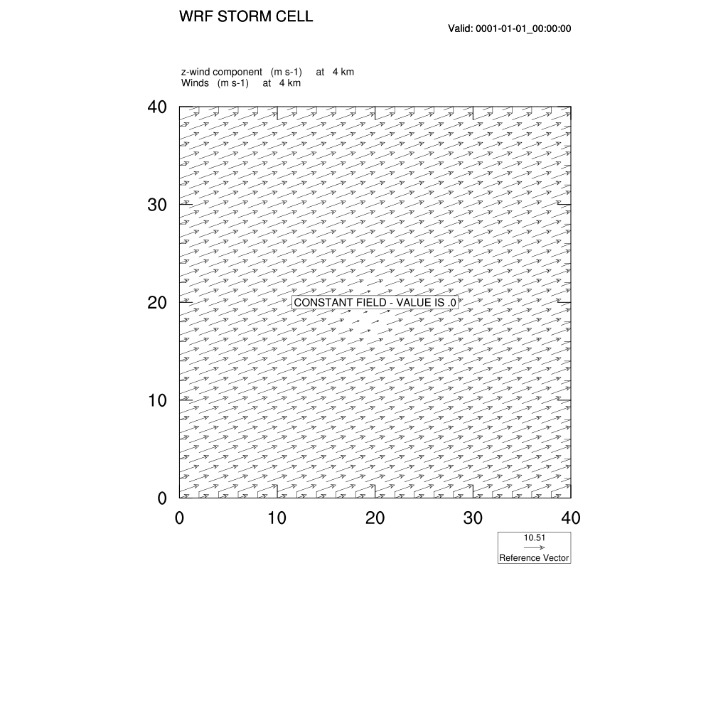
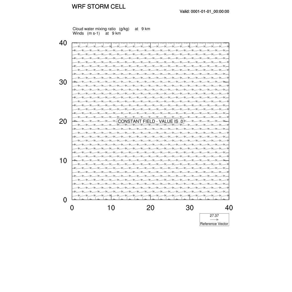
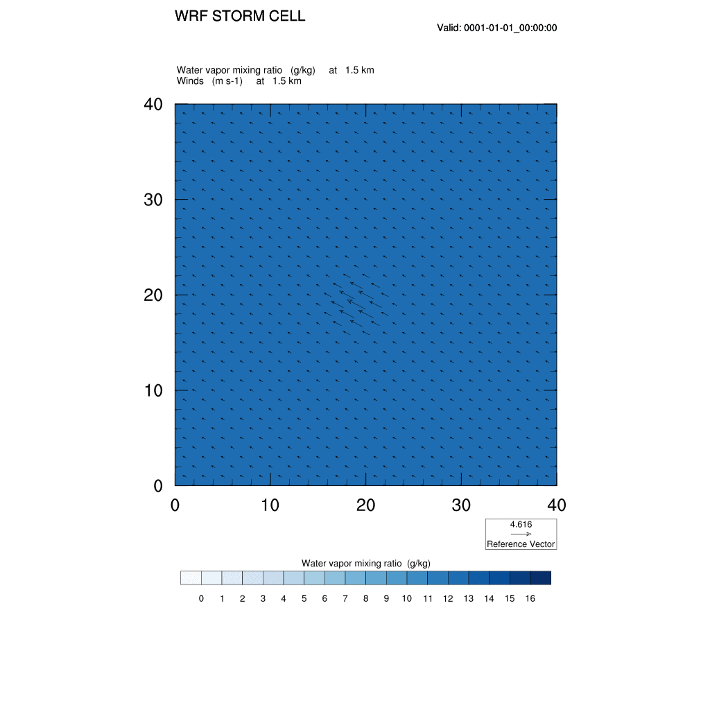
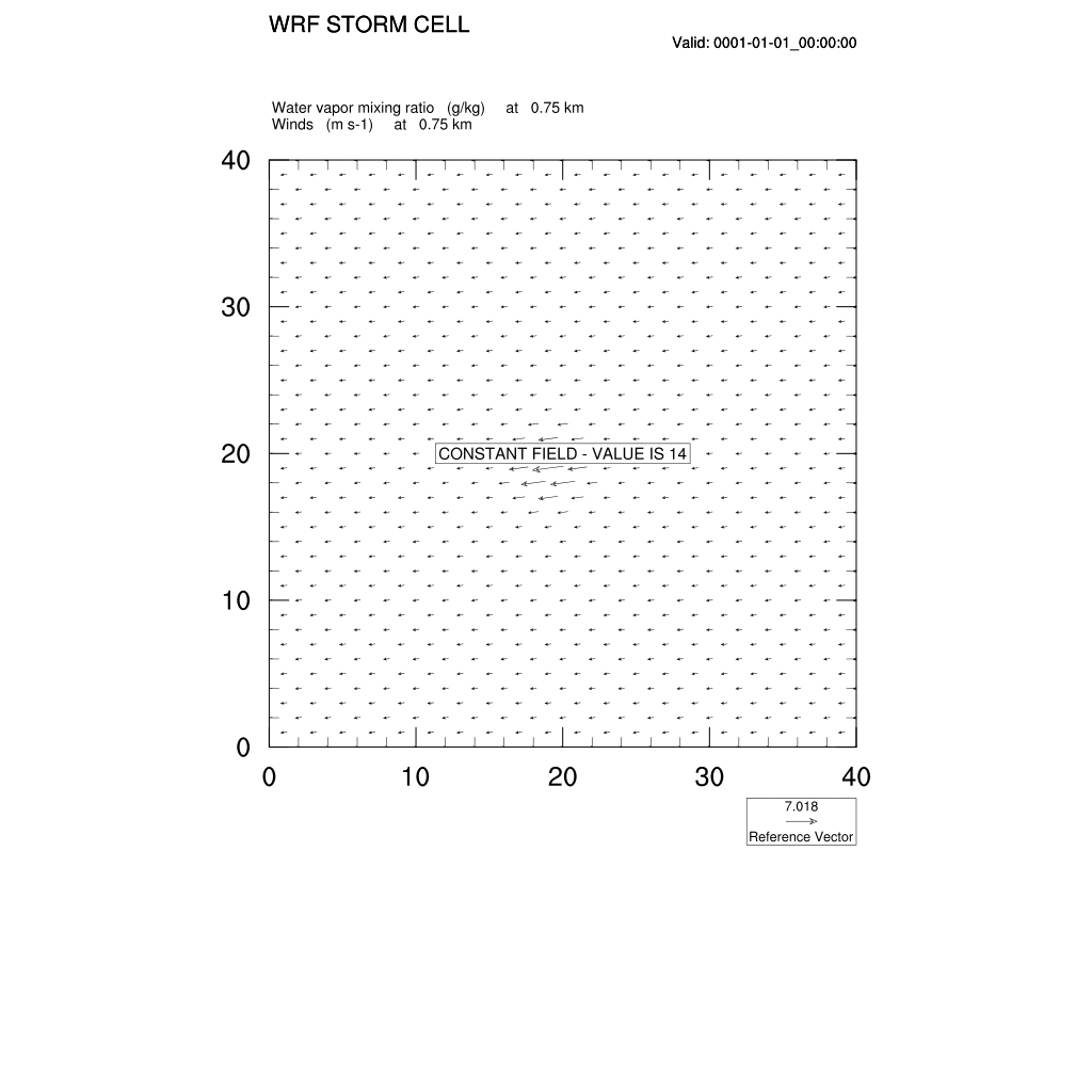
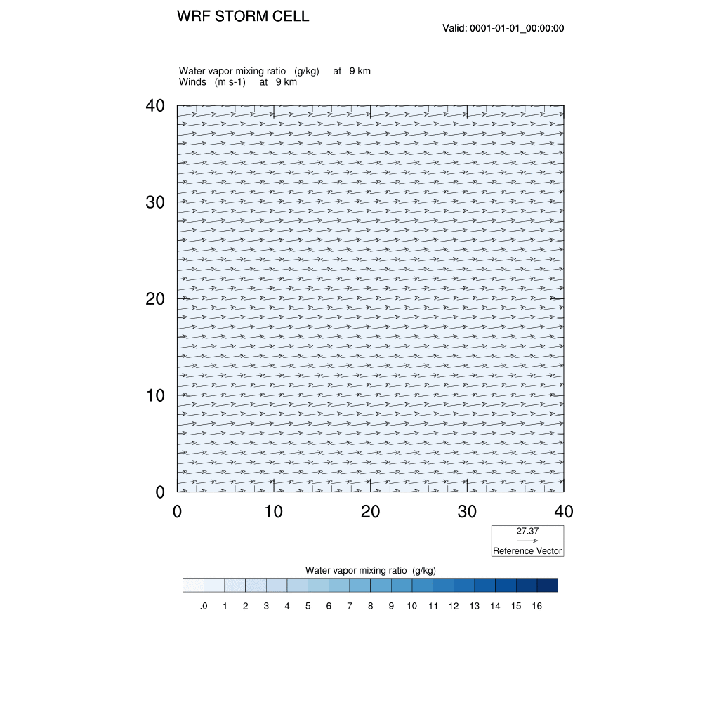
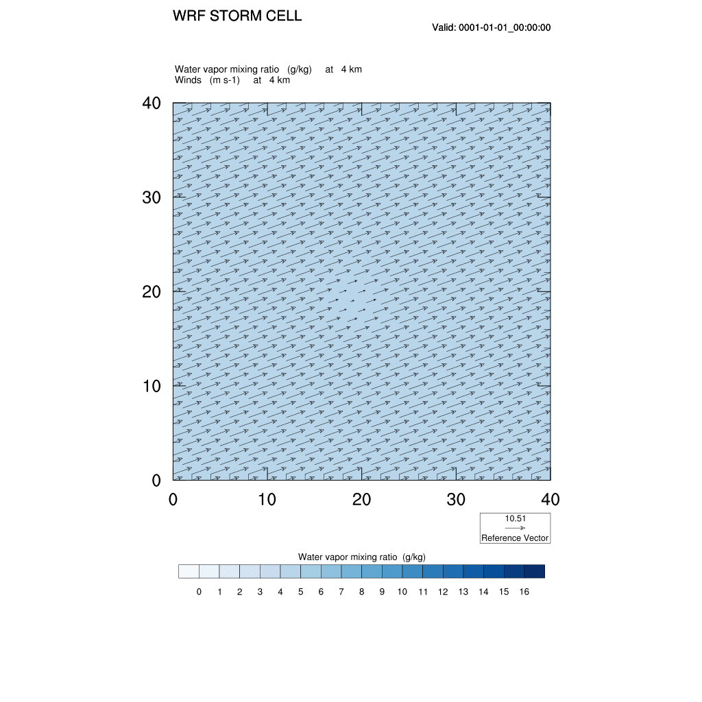
When looking at supercell, z-wind, cloud water mixing ratio and water vapor mixing ratio are the important components. The following animated gifs are at a initial horizontal scale 10000m and initial vertical scale 1500m.
-
using ideal case, NOAA wrf model
-
graphic tool : NCL
-
time interval : 5 mins (00:00:00 ~ 02:00:00)
-
graph size : 40km by 40km
1. z-wind : vertical velocity
1) 0.75km
2) 1.5km


3) 4km
4) 9km

2. QCLOUD : cloud water mixing ratio
1) 0.75km
2) 1.5km


3) 4km
4) 9km

3. QVAPOR : water vapor mixing ratio
1) 0.75km
2) 1.5km
3) 4km
4) 9km
bottom of page